Schneider Electric’s OOTB Fiber Manager™ model has two point feature classes that increase the length of the cable (assuming the LengthSource field is assigned the “GIS Length + Slack Loop Length” value). These feature classes are the FiberSlackloop and TransitionPoint (i.e., Riser).
With a simple configuration modification, the SplicePoint feature class can be added to that list. Many municipalities associate a slack loop or coil with every splice case. For example, the figure below shows a digitization of a splice case with two 25 foot slack loops (one for each connected cable to the splice case). In this example, three point features must be digitized.
![]()
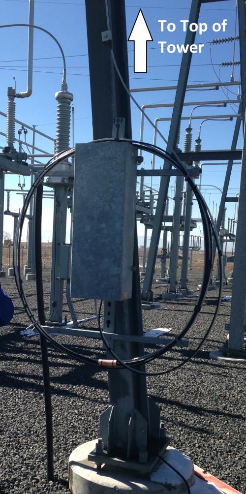
Another example of this type of scenario is when fiber cables are connected to transmission towers and the connecting splice case is near the ground. In this case, the splice is surrounded by two 25 foot risers as shown in the figure below..
![]()
As an alternative, an administrator can add a Length field to the splice case and assign the PointLength field model name to it. As shown in the below figure, attributing the field with a value of 50 feet is the equivalent to a 25 foot slack loops or risers on each connected cable.
![]()
The next figure shows how the Fiber Trace Report handles the length using the alternative option.

An advantage of this secondary methodology is that it is digitized faster with fewer features, thus potentially enhancing end user productivity. A disadvantage is the amount of slack (i.e., length) is equal on both sides of the splice, and the user not knowing specifically where the slack is located in the event it is needed.
The administrator can configure both methods, and the use of a particular method may depend on each specific site.


What do you think?