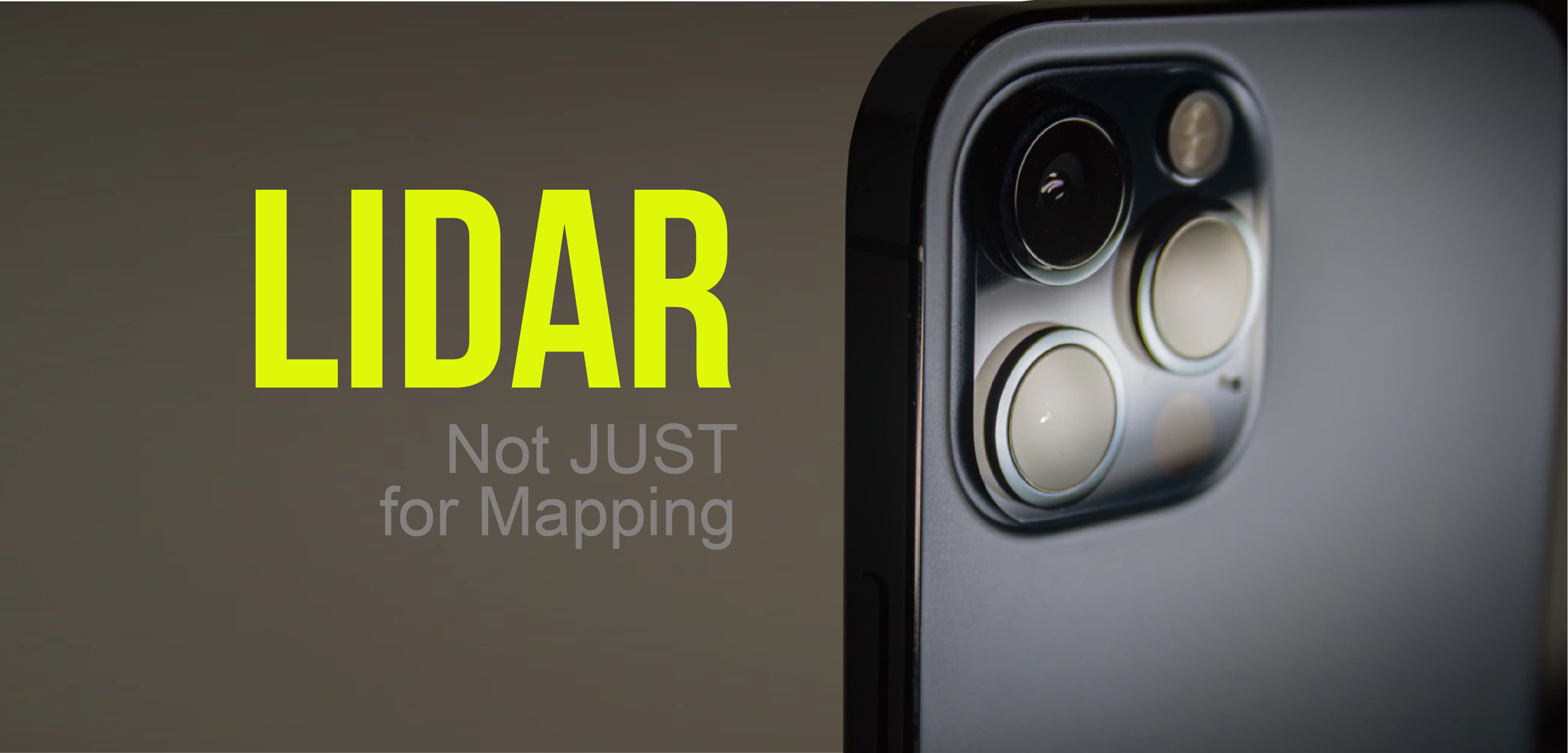
Phones are technological wonders these days becoming slimmer, smarter and more powerful – now Apple has gone bullish and put a LiDAR sensor in their latest iPhone 12 Pro camera. Today’s millennial techies and Average Joes may have never heard about Apple’s snazzy new technology, but its existence has been revered in the geospatial industry for decades.
LiDAR, or Light Detection and Ranging as we understand it, is an essential data collection method used in many fields such as surveying, oceanography, archeology, and aeronautics. Advanced as a military instrument in the 1960s, it later famously played a role in capturing the moon’s topography for the Apollo 15-17 missions. The 80s brought substantial improvements when GPS and satellite communication became widespread enough for LiDAR technology to achieve the true precision it’s known for.
LiDAR sensors rapidly emit lasers recording the time it takes to reflect off a surface or object and return to the sensor; that direct time of flight is then calculated into distance traveled. When these distances are calibrated with GPS, angle correction, and orientation the result is a precise, detail-rich point cloud that can be used to generate 3D models.

So…What business does LiDAR have sitting in our pockets?
Apple markets that it will optimize low light photography – a toggle function in the camera settings designed to enhance auto-focus capability and subject detection for video and “night-mode.” Apple also claims its LiDAR operates at nanosecond speeds, improving users’ immersive experience in augmented reality (AR) gaming. So far this is the only mobile manufacturer in the world to utilize this technology, where realistically a user could scan a room in their home and plan a renovation project using virtual 3D overlays all on their handheld device.

Is this a game-changer for professionals?
We have watched the geospatial industry expand and change with 3D scanning and drone-based LiDAR. Now planted in smartphones and self-driving cars, it may appear LiDAR technology is reaching its potential. As scanner technology continues to shrink in size, becoming more portable, there are certain possibilities for more efficient fieldwork. The shortcoming here is that the scanner on a mobile device is a simplified form of LiDAR that will not hold up to the capability of a professional-grade terrestrial scanner. The new iPad Pro has a range of up to 5 meters, which is optimal for more enclosed or indoor spaces. By comparison, high-performance terrestrial scanners provide accuracy under one centimeter out to distances of 300 meters or more, scanning at a rate of one million points per second.
Remote sensing technology in something as compact as a mobile phone introduces an opportunity for future integration with 3D modeling products to improve project visualization using more lightweight and affordable equipment. The iPad or iPhone Pro camera will certainly be the best on the market this year (or the next) for personal entertainment, but it is unlikely to replace current data collection practices leading the geospatial industry – for now.

What do you think?